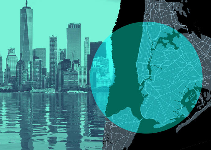

New flood maps are on the way in New York City, which could pose challenges for both developers and residents. (iStock)
A rising tide lifts all … insurance premiums?
Developers and residents could soon find themselves up to their necks in new costs and code requirements, courtesy of updated flood maps.
New flood maps from New York City and FEMA due in 2022 and 2024, respectively, could place thousands of more residents in the flood zone, requiring them to pay for flood insurance, according to NY1.
FEMA’s last preliminary map — which shows current flood risk — was released in 2015. While that’s only six years ago, the increasing threat of climate change could result in major shifts on the new one.
While more residents will likely be required to buy flood insurance, developers also face major consequences from New York City’s map assessing flood risk. Mayor Bill de Blasio plans on utilizing the map in crafting the building code.
NY1 cited Coney Island and the Rockaways as two neighborhoods where development is at high levels, but so is the threat of flooding. New flood maps could hamper development in the areas, causing major headaches for projects looking to meet code.
Several maps have been released in recent years showing the threat of flooding increasing for the next several decades because of climate change. Those maps haven’t been used for any official city planning, though.
Michael Baker Engineering is responsible for creating the New York City future flood risk map, set to come out two years before the FEMA current risk map. FEMA provided a $750,000 grant toward the creation of the city project.
[NY1] — Holden Walter-Warner